
The map services below are in Swedish language, but may be of use to foreign aviators.
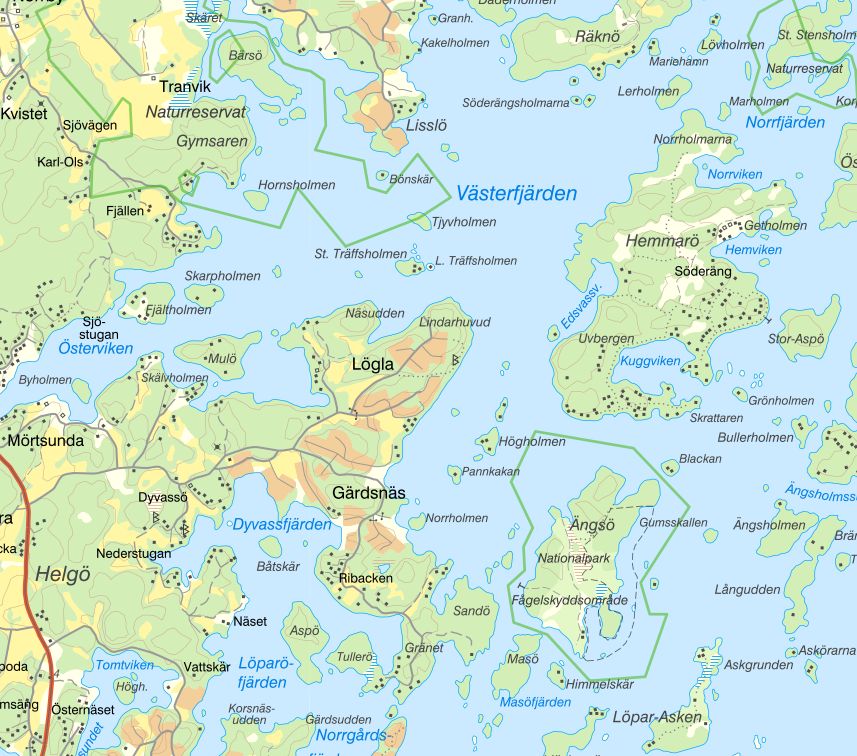
Sveriges Länskarta (Swedish County Map) is a mobile-friendly map. The web map contains geographical information of general interest such as areas of natural and cultural interest.
In the map, you can easily see, among other things, where there are national parks, nature reserves, bird protection areas, etc.
MSB Maps for forest fire aviation contains a lot of good information also for sea pilots (eg classification of lakes, flight obstacles and restricted zones, nature and water protection).
Eniro Sjökort has free sea charts.